ServicesWhat we
do for you.
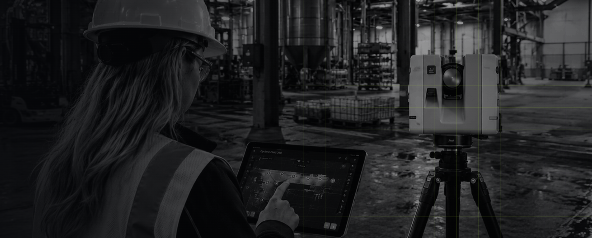
From existing conditions capture to deformation monitoring, MW Site delivers reality-verified data for AEC, quarries, claims, and infrastructure teams.
CapabilitiesReality capture, end to end.
AEC
We work with architects, engineers, and contractors who need accurate spatial data at every stage of a project, from existing conditions through construction verification.

As-built & existing conditions capture
FF/FL analysis
clearance & tolearance checks
Construction progress documentation
Verticality & plumb assessment
Cross-sections & site profiles
Quarries & Aggregates
Quarry and operations depend on accurate, repeatable data to manage production, track material movement, and maintain safe working conditions. We capture what is on the ground so your team can make informed decisions.
Stockpile volumetrics
Cut & fill analysis
Haul road condition assessment
Pit progression tracking
Highwall deformation monitoring
Facilities and Property
Building owners and property managers need accurate records of their spaces to support renovation planning, maintenance decisions, and operational changes. We deliver precise existing conditions documentation so your team always knows exactly w
Pre-renovation capture for design and planning
Conditions verification following alterations or construction
Facility and asset documentation for operations and maintenance
Property documentation for acquisition, leasing, or due diligence
Municipal & Infrastructure
Municipal clients and infrastructure owners need reliable documentation of existing assets to support maintenance planning, renovation projects, and operational decisions. We deliver accurate field capture with minimal disruption to active facilities and sites.
Municipal facility & building documentation
Clearance & deformation assessment
Infrastructure asset condition capture
Site & roadway condition documentation
Analysis & Reporting
Every scan we deliver can be taken further. Using Cyclone 3DR we provide a range of spatial analysis and reporting services that turn point cloud data into actionable information for your team.
Volumetric computations
Deformation monitoring
Verticality & plumb assessment
Cross-sections & site profiles
Contour line generation
Surface deviation & change detection
FF/FL analysis
Clearance & tolerance checks
Cut & fill analysis
DeliverablesAll deliverables are provided in industry standard formats compatible with your existing workflow. Every dataset goes through a thorough QA/QC process before delivery to ensure accuracy and completeness. Contact us to discuss your project requirements and preferred formats.